
Start fishing better with FREE Weekly Video Tips delivered straight to your email.
tom hilton
-
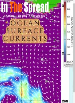
2024, How to Read Satellite Images of Ocean Surface Currents
5:39 · Thomas HiltonOcean surface currents concentrate baitfish and gamefish in predictable zones revealed through satellite image analysis. Understanding arrow patterns for current direction and speed, identifying upwelling and downwelling zones where vertical movement affects prey, and recognizing warm core eddies that trap bait transforms random offshore searching into informed decisions about where conditions align to create prime fishing locations.
WATCH NOW -
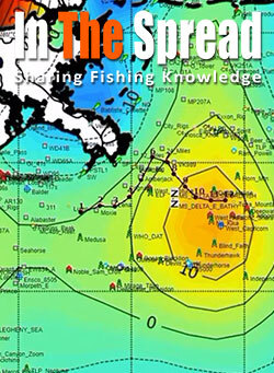
2019, How Altimetry Charts Improve Fishing Forecast
7:34 · Thomas HiltonTemperature and chlorophyll satellites show surface conditions but miss the vertical water movements driving productivity. Tom Hilton explains how altimetry reveals upwelling bringing nutrients from depth versus downwelling pulling them away, why upwelling edges outperform centers for predator positioning, and what sea surface height variations indicate about food chain sustainability.
WATCH NOW -
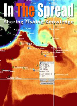
2019, Reading Sea Surface Temperature Charts for Offshore Fishing
13:59 · Thomas HiltonBlue marlin preferring 78 to 88 degrees differs from wahoo favoring cooler break edges, making species-specific SST interpretation critical. Learn identifying temperature gradients where water masses collide, why breaks without chlorophyll may hold no fish despite perfect temps, and how daily shifts mean yesterday's productive water may be miles from current locations.
WATCH NOW -
Featured
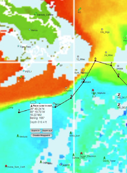
2019, How to Read Chlorophyll Charts to Locate Pelagic Fish
5:07 · Thomas HiltonModerate chlorophyll concentrations outperform both extremely low and extremely high levels for pelagic fishing because very dense blooms sometimes create conditions predators avoid. Tom Hilton explains interpreting color gradients from blues indicating barren water through greens and yellows showing productive zones, and why combining chlorophyll with temperature and current data identifies where complete food chains support apex predators.
WATCH NOW -
2019, How to Read Salinity Charts for Fishing Forecast
3:19 · Thomas HiltonDebate over salinity chart utility stems from satellite showing only surface conditions while many species position at depth. Learn what purple to maroon color transitions reveal about freshwater and saltwater mixing zones, why king mackerel concentrate along these gradients, and when nearshore applications work better than offshore tuna scenarios.
WATCH NOW -
2019, Hiltons Offshore Satellite Fishing Maps
15:13 · Thomas HiltonRunning offshore without calculating fuel burn to satellite-identified features versus closer alternatives wastes money on marginal trips. Thomas Hilton's integrated trip planner combines oceanographic data with weather forecasting and fuel consumption calculations, helping captains decide whether distant temperature breaks justify runs or intermediate zones provide better fishing per dollar spent.
WATCH NOW -
2019, Fishing Forecast From Hiltons Realtime Navigator
53:35 · Thomas HiltonOffshore anglers running without satellite data waste fuel searching randomly for oceanographic features that satellite imagery reveals precisely. Thomas Hilton explains what sea surface temperature breaks, chlorophyll concentrations, and altimetry show about fish positioning, how combining multiple data layers identifies high-probability zones, and why real-time updates matter when features shift daily.
WATCH NOW