
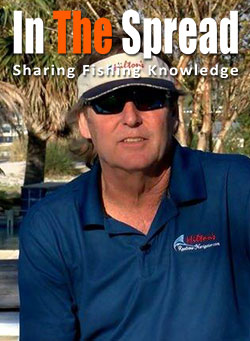
Thomas Hilton
Thomas Hilton is the founder of Hilton's Realtime Navigator and the pioneer of satellite fish mapping for offshore anglers. Nearly two decades ago he turned newly available ocean data into a service now considered standard by bluewater tournament teams and top charter captains. In his In The Spread videos, Hilton teaches how to read sea surface temperature, chlorophyll, altimetry, salinity, and currents, and how to combine those layers and plan fuel-smart trips that put you on tuna, marlin, and other pelagics across the Gulf, Atlantic, and Pacific.
Fishes for
Videos
Instructor's videos
Hiltons Offshore Satellite Fishing Maps
How to Read Salinity Charts for Fishing Forecast
Fishing Forecast From Hiltons Realtime Navigator
How Altimetry Charts Improve Fishing Forecast
How to Read Chlorophyll Charts to Locate Pelagic Fish
About Instructor
Thomas Hilton changed how offshore anglers find fish. Before satellite data was something a fisherman could actually use, most crews ran offshore on hope, burning fuel in search of a rip, a color change, or a temperature break they might never find. Hilton saw that the ocean was leaving clues from space, and he built the tool that lets anglers read them. His Realtime Navigator is now standard operating procedure for a huge share of bluewater tournament teams and top charter captains.
Nearly two decades ago, Hilton began a serious study of how newly available satellite data could be applied to offshore fish mapping. He started by advising a handful of tournament anglers for a single event. Those boats caught seven marlin between them, and he knew he was onto something. That idea grew into Hilton's Realtime Navigator, an online service that delivers real-time data on the ocean conditions that determine where offshore fish are likely to be today, and where they will be tomorrow.
What makes Hilton such a valuable teacher is that he understands the ocean as a system, not a set of pretty charts. He can look at sea surface temperature, chlorophyll, altimetry, currents, and salinity together and tell you where the complete food chain lines up to hold tuna, marlin, and other pelagics. He knows why the edge of an upwelling produces and the center of a warm core eddy does not, why a chlorophyll break matters, and how to combine layers into a single high-probability zone instead of chasing one feature blindly. His integrated trip planner even factors weather and fuel burn, so you can decide whether a distant break is worth the run.
That knowledge covers the Pacific, the Gulf of Mexico, the Caribbean, and the Eastern Atlantic.
In his In The Spread videos, Hilton walks through reading satellite data step by step: sea surface temperature, chlorophyll, altimetry, salinity, currents, and trip planning, all aimed at getting you to productive water faster and cheaper. If you fish offshore, learning to read the ocean from him will change how you leave the dock.