Understanding your bass fishing spot and its natural details, such as points, contour drops, and depths, can help expand your catch. Bass move to similar locations within close proximity, and using tools like Lowrance Structure Scan or Navionics mapping can save time and motor hours.
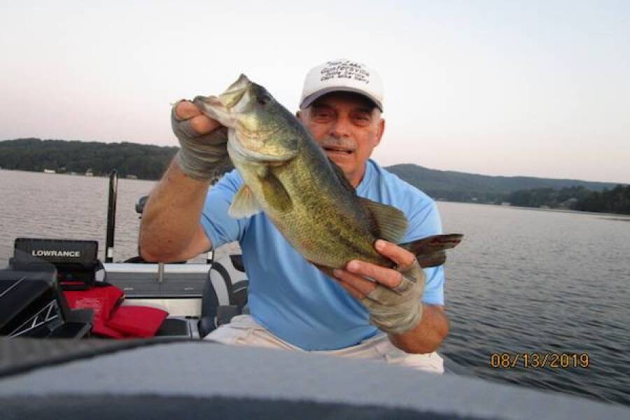
Understanding Bass Fishing Spots
Sometimes you can just have too many places to fish, too many way points and too many miles of water to travel to get there; instead of trying to fish every one of those endless way points to find bass, I suggest you study your location. If you’re not finding fish when that happens you should think about what you have been doing, what type of structure you are fishing, along with depth and location. The biggest advice I give you is to understand what the natural details of the spot were you have found fish that day, in other words is the area a point, a contour drop or break; does it have wood on it, is it an inside bend or outside, what is the depth? There are many questions to be answered about the area where you’re catching fish and when you understand its uniqueness you can than expand your catching spot to more similar locations. This type of bass fishing can be referred to as a developing a pattern. I like to think its all about detail. When you understand what you are fishing and why the fish are there, you can repeat that pattern very easily.
The biggest advantage about understanding your bass fishing spot and learning how to expand your fishing spots is you generally do not have to travel far to find more fish. Bass move to similar locations within close proximity and are generally not too far away from where you just caught them before. The key is to expand to locations that have similar characteristics; so, the first thing to do is find those similar areas within a mile or so and start checking those when your fish dry up. If that does not produce, then change depths again within short distances but similar in bottom structure; a point is a point whether it’s a point dropping into 5 ft. of water or dropping into 20 ft. of water. Stumps are in shallow locations as well as deep locations. Lowrance Structure Scan or Navionics mapping is the ideal tool to find similar spots. They are tools that have unique abilities to help you locate more fish! Over the period of a year many fishermen build endless hours of use on their motors, if you understand the detail behind the area you are catching bass you can save yourself a lot of travel time and motor hour build up.
Bass baits are also a big part of uniqueness, many times there is a very good reason that bass bite certain baits better one day over the other. Going to you tackle box to change baits is not always the answer. In fact, it can be viewed by many as a waste of time, as I have seen customers change baits so much that their day is overcome by scissors instead of fishing. I suggest you use different presentations with a bait you have confidence in and have caught fish with before you go to the tackle box.
If you’re struggling with your bass fishing, use these concepts and you will be much better off because traveling cost money and there are no guarantees that moving 15 miles will produce more fish. The bass are not going to move ten miles, so why would you? I believe that the bass only move short distances especially when the elements are similar or constant like springtime or winter and so on. Spot expansion is a quick and easy way to move from fish that were biting one day or earlier that same day to sometimes the same school of fish that might be close to where you caught them the day before or the hour before.
Fish Lake Guntersville Guide Service
www.fishlakeguntersvilleguideservice.com
Email: bassguide@comcast.net
Phone: 256 759 2270
Captain Mike Gerry
In The Spread is one of the world's premier sport fishing video companies and educational outlets for demonstration, explanation and insight on how to catch fish. Get inside access to our video library by becoming a member.
Mike Gerry In The Spread, Instructor
