Start fishing better with FREE Weekly Video Tips delivered straight to your email.
ocean currents
-
2024, How to Read Satellite Images of Ocean Surface Currents
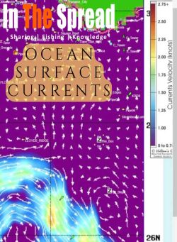
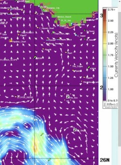
Ocean surface currents concentrate baitfish and gamefish in predictable zones revealed through satellite image analysis. Understanding arrow patterns for current direction and speed, identifying upwelling and downwelling zones where vertical movement affects prey, and recognizing warm core eddies that trap bait transforms random offshore searching into informed decisions about where conditions align to create prime fishing locations.
WATCH NOW -
2025, Best Apps for Offshore Fishing
Satellite oceanographic data has changed how serious anglers plan offshore trips. This breakdown of SatFish, RipCharts, FishTrack, and BigBlue covers what each app does best, who it suits, and what the data actually tells you before you run.
READ MORE -
2024, Comparing Offshore Satellite Fishing Map Services
Five satellite fishing services compete for the same angler, but they are not selling the same thing. This breakdown covers what separates ROFFS, SiriusXM Marine, Hilton's Realtime Navigator, SatFish, and RipCharts on the variables that actually matter: update frequency, data layers, expert interpretation, offline access, and price.
READ MORE